
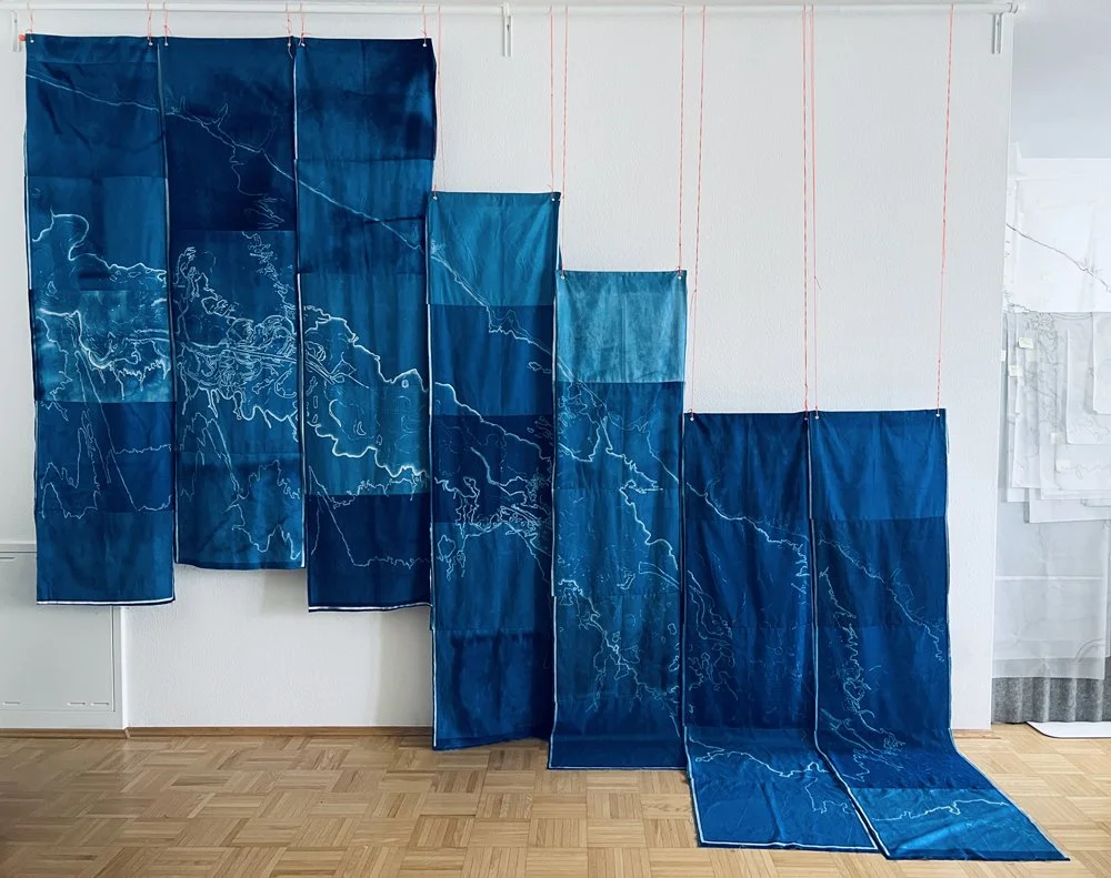

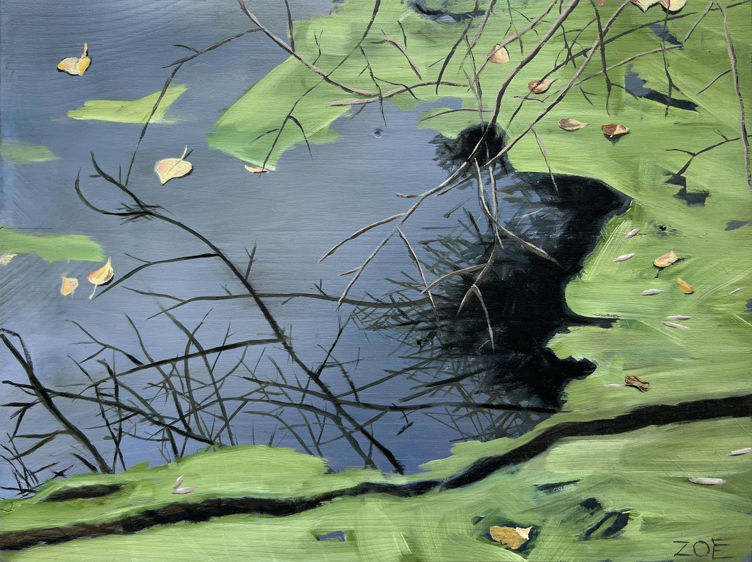


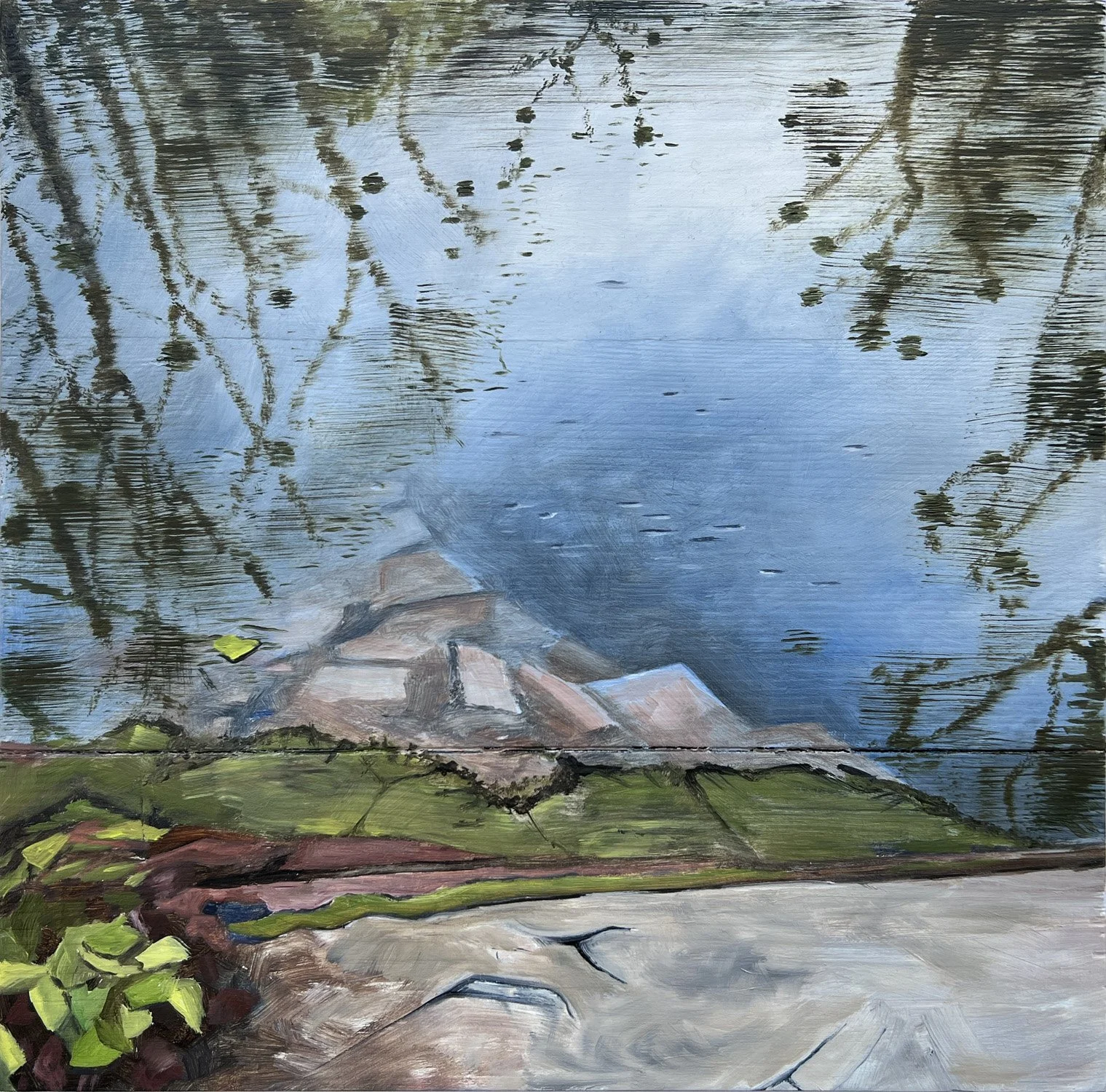


landform portrait:
The upper rhine river
between gambsheim, France and romerberg, germany
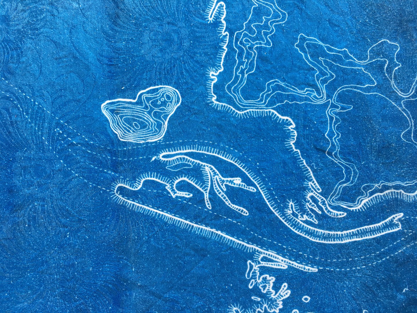
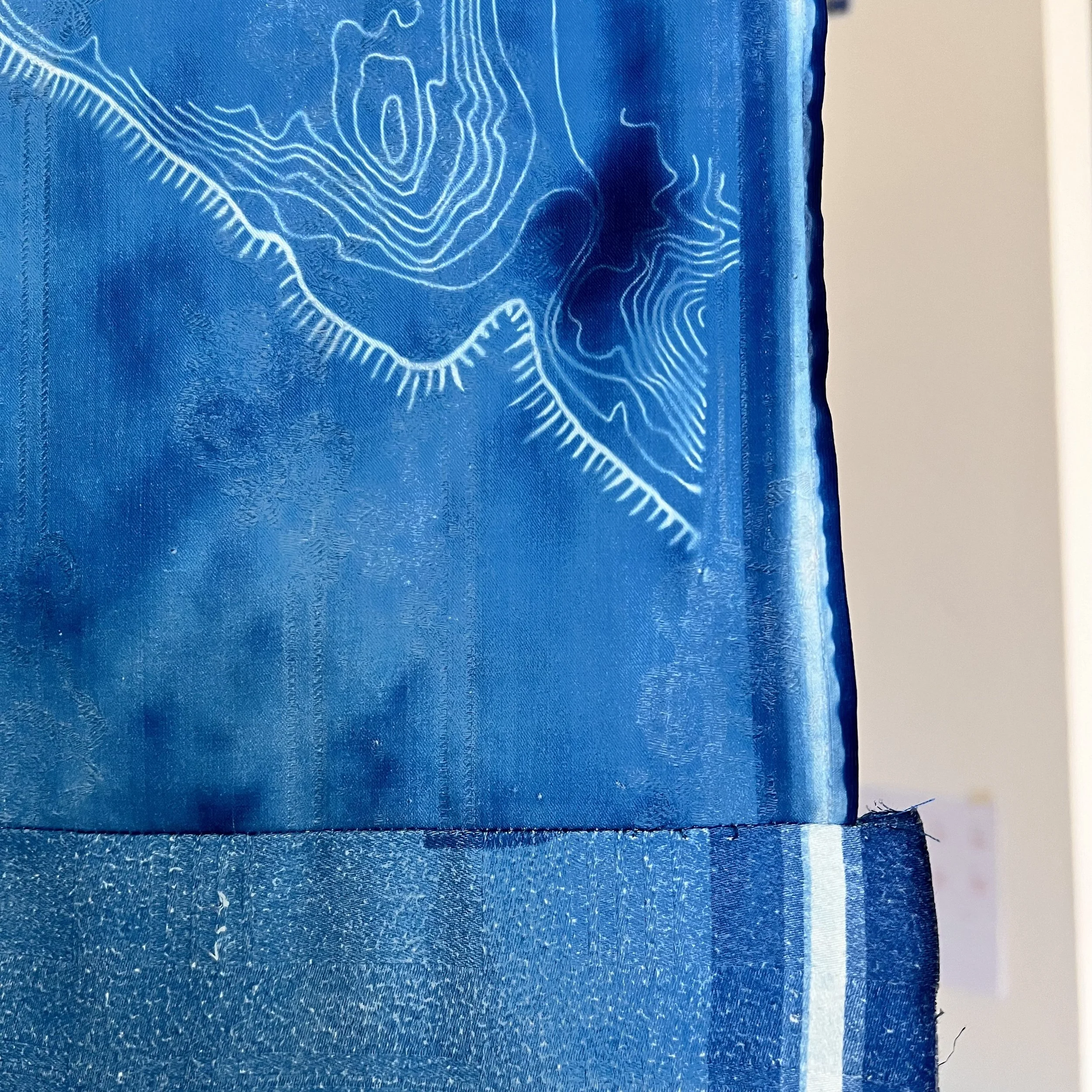
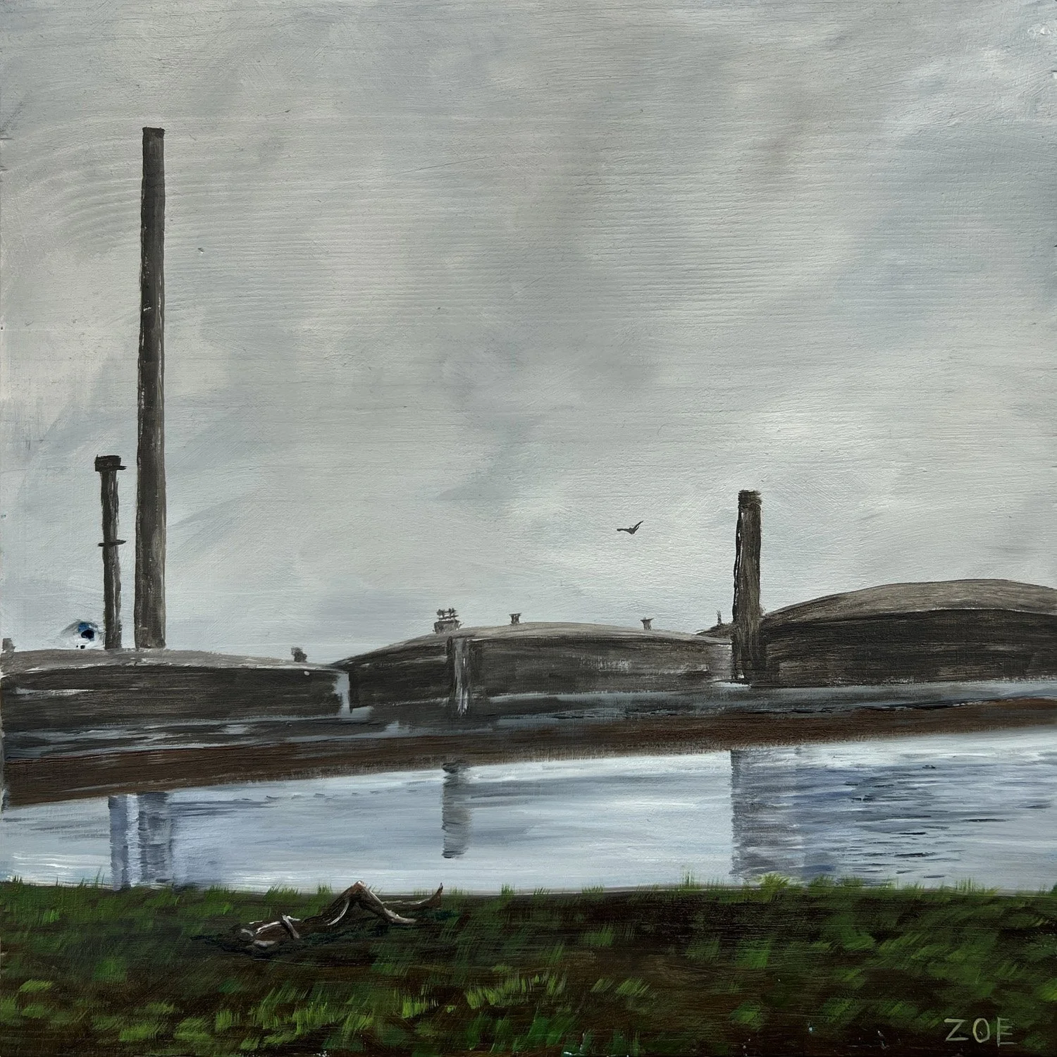
… is an installation of cyanotype prints, oil paintings and video exploring the convergence of environmental and industrial processes along one of the world’s busiest waterways. As a recent immigrant to Karlsruhe, I am continuing a series of works called ‘To Land’, exploring and interpreting the character of specific places. While my work in the US focused on mountains and river systems that are important to Indigenous communities, here I am exploring the transformation of the Rhine during the 19th century. I employ cartographic techniques, but the results are not maps. They are not intended for navigation, or exploitation of land as a resource – only as expressions of forces shaping the land and its relationship to us as humans.
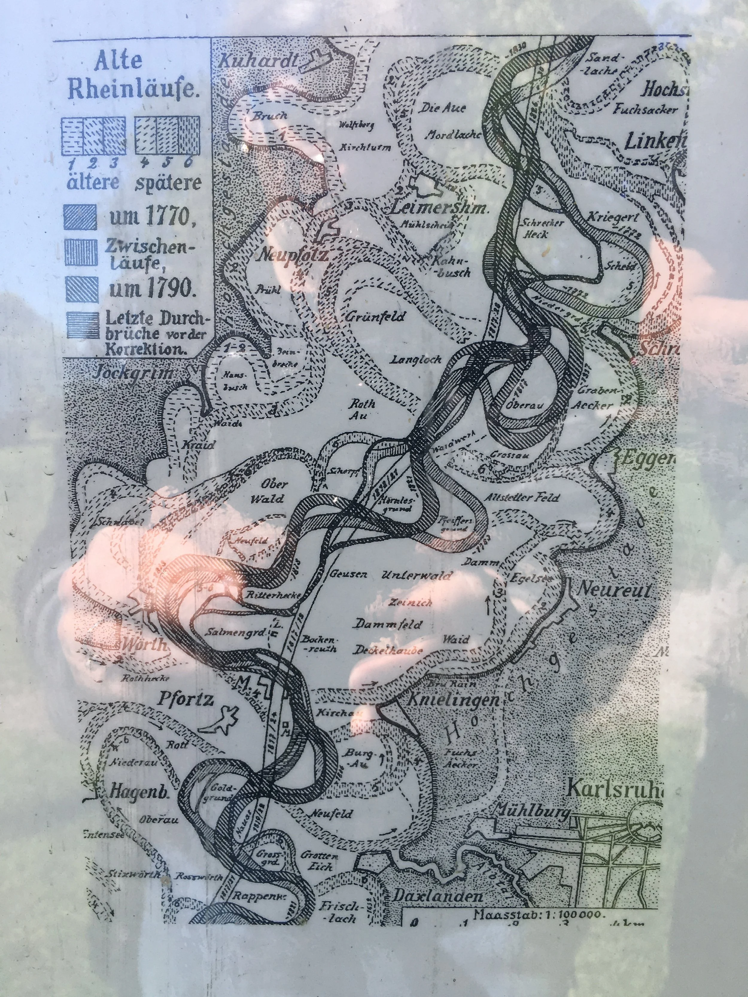
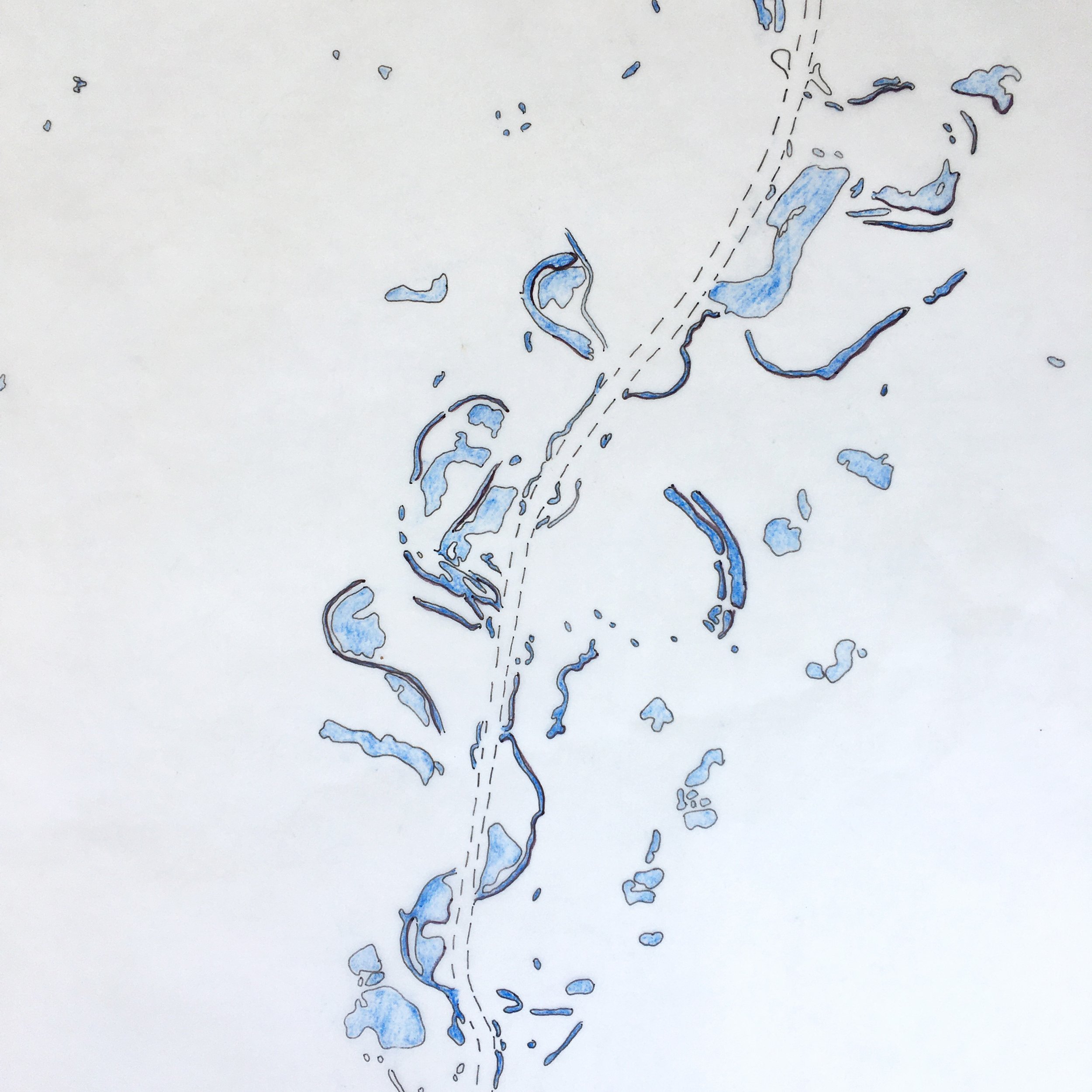
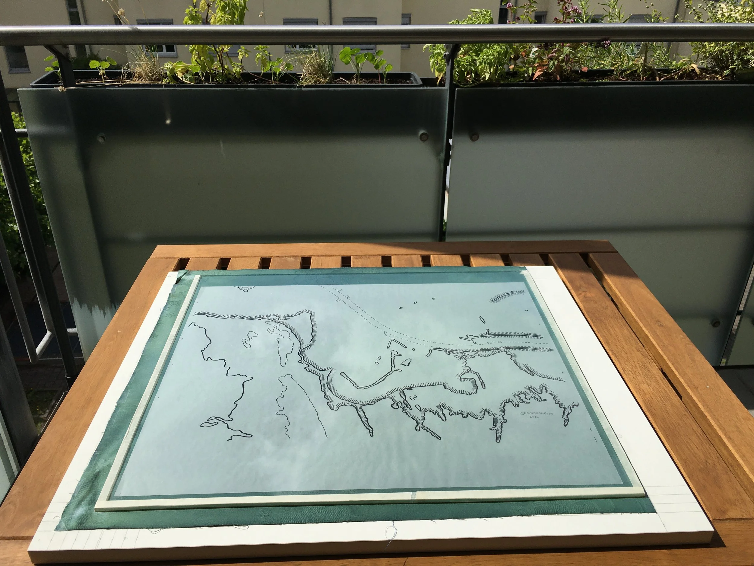
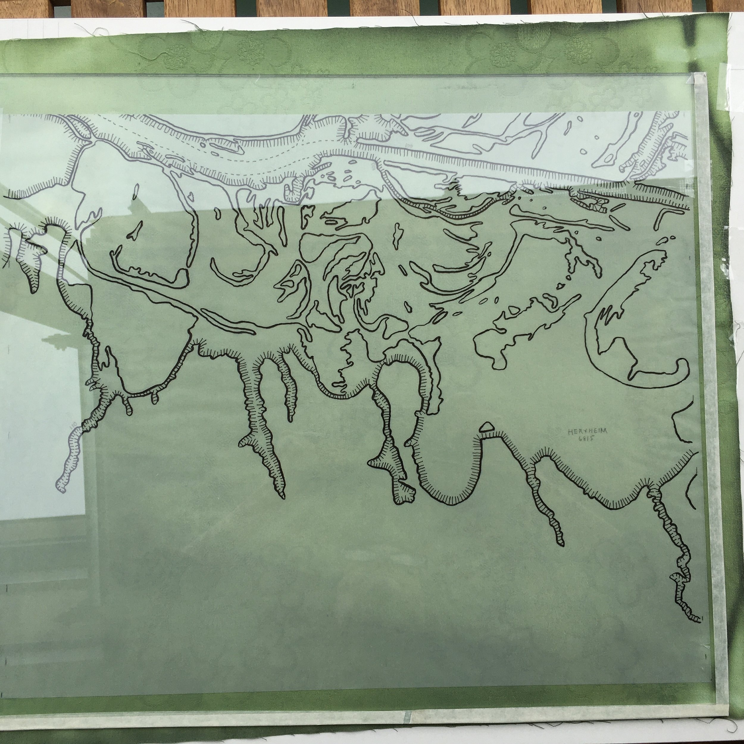
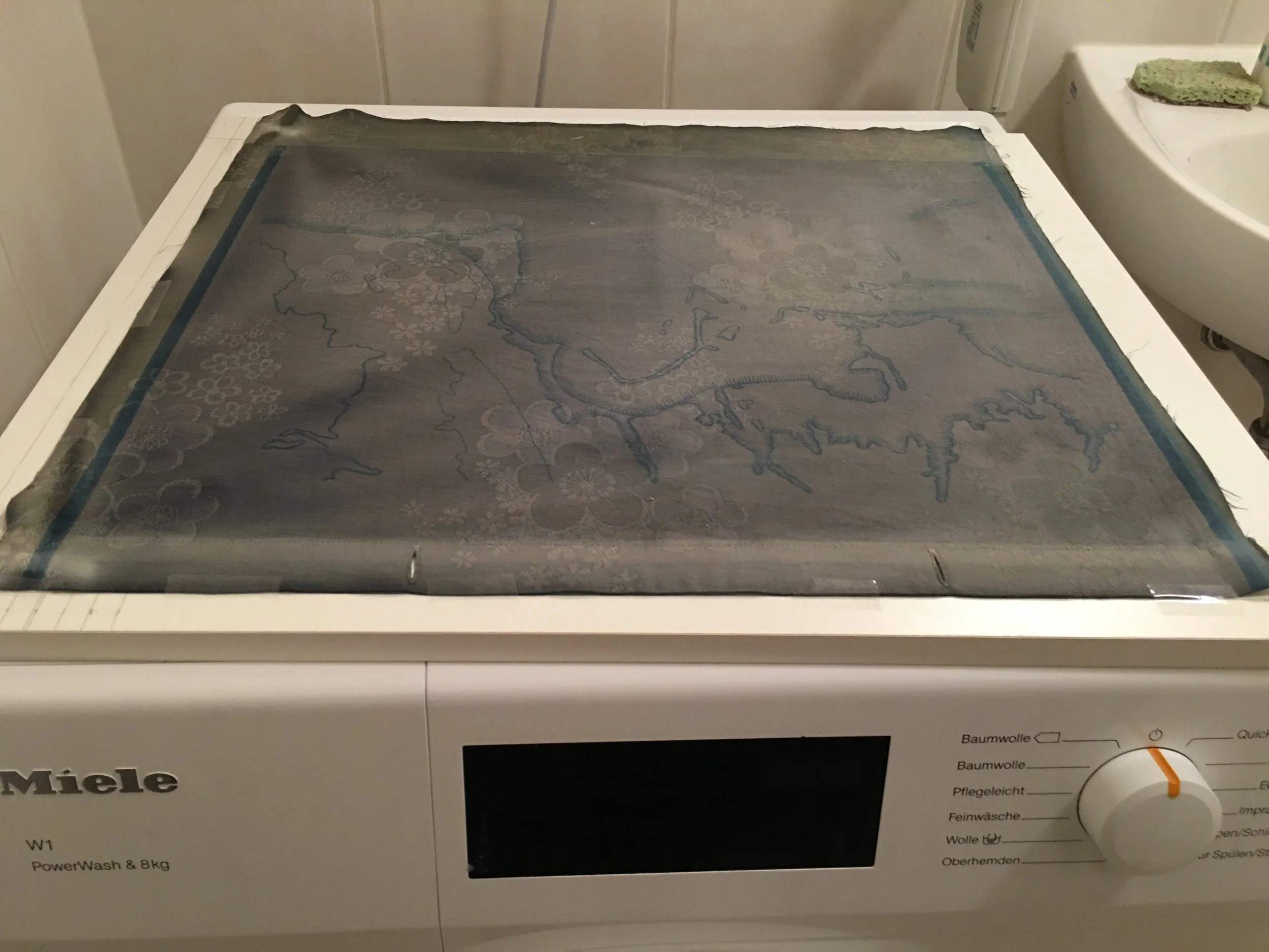
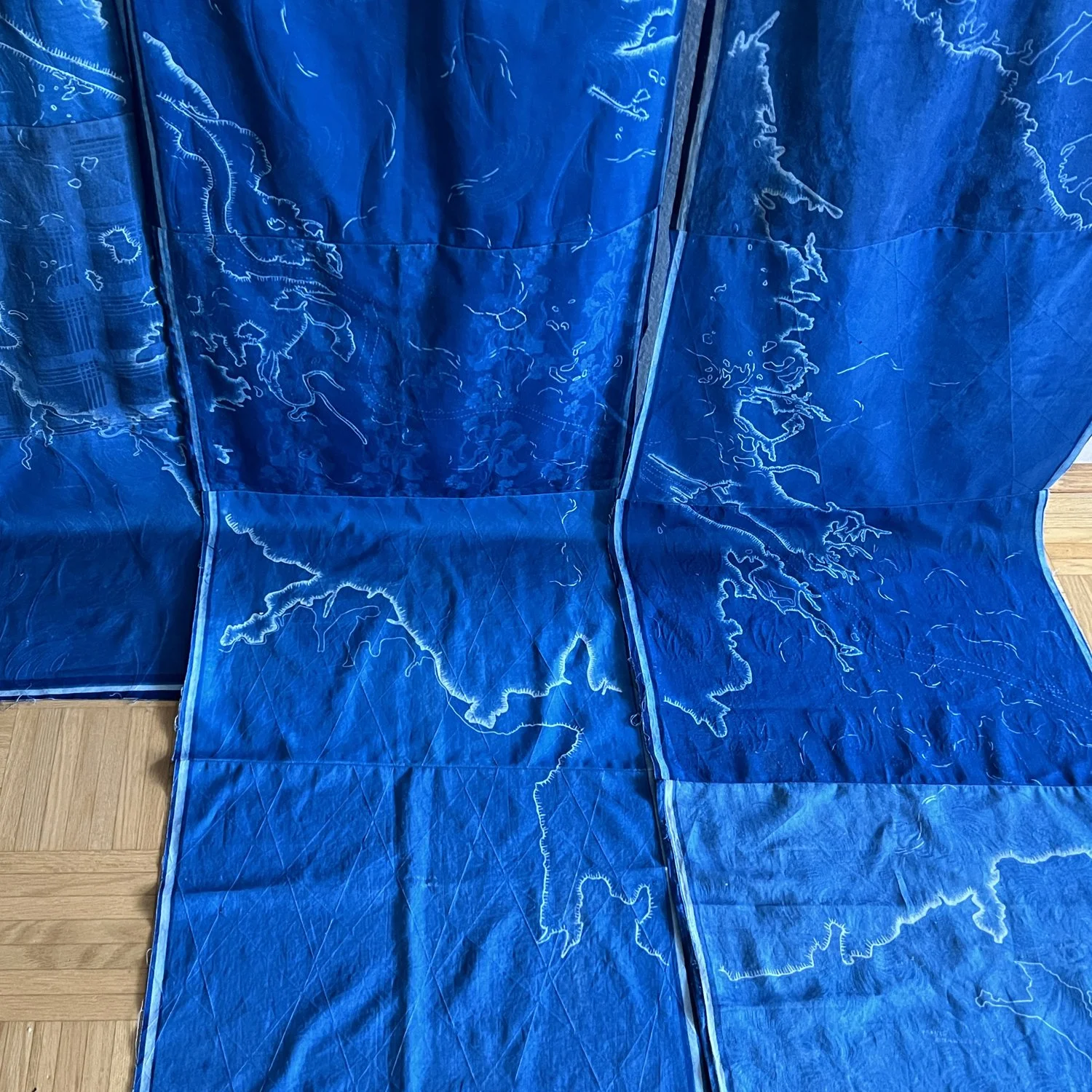
Each of the panels starts from a topographic map. For this project I am tracing only the 10-meter contours and the current path of the Upper Rhine as it travels from Switzerland, and then between France to the west and three German states to the east and north. The resulting drawing is then transferred via cyanotype onto white damask fabric. Sourced from second-hand stores, this material – once bed and table linens – is connected as intimately as possible with the people and the place that I now call home. The technique, an early form of photography which relies on simple iron compounds and sunlight, was used by Anna Adkins in 1843 to produce the first photographically illustrated book. The process is watery, variable, and somewhat unpredictable, like the conditions encountered by engineer Johann Tulla and the 19th century laborers who straightened the Rhine. What is revealed is not a complete documentation of the river and the floodplain – it is an abstraction, contrasting the straightened channel with its dams and harbors against the traces of the old paths of the river.
The drawings and paintings are not intended to cast judgment on the human interventions on the river – they show the river as a creation of both natural and human/industrial processes. They draw on the objective process of cartography while demanding long quiet hours of artistic mark-making and meditation.